
Skip to content
Northern LightsSaariselkä

Live data · NOAA & FMI

Northern Lights Forecast Saariselkä

Official space-weather and weather data for Saariselkä in one place. Read it the local way: clouds and darkness first, then geomagnetic activity. High activity does not guarantee visible auroras — and low activity does not rule them out.

Loading live data…

Kp index · geomagnetic activity

NOAA aurora forecast · next ~30–90 min

Solar wind · upstream of Earth

Local magnetic activity · Ivalo

Cloud cover

Weather now · Saariselkä

Kp index — last 24 hours and next 3 days

Three-hour blocks, Finnish time. Forecast uncertainty grows with every day ahead.

NOAA SWPC

Local forecast · next 36 hours

Cloud cover, temperature, wind and precipitation. Darker columns are dark-sky hours.

FMI

Sunset and darkness tonight

Data: NOAA Space Weather Prediction Center (Kp index, OVATION aurora model, real-time solar wind) and the Finnish Meteorological Institute open data (forecast, weather observations, Ivalo magnetometer; CC BY 4.0). We do not calculate a percentage chance of seeing auroras — no forecast can promise a sighting.

Reading the forecast

What the numbers really mean

What is the Kp index?

The Kp index is a global measure of geomagnetic activity on a scale from 0 (very quiet) to 9 (extreme storm). It is calculated from magnetometer stations around the world and reported for three-hour periods. The scale is quasi-logarithmic, so each step represents a much larger disturbance than the one before.

NOAA links Kp to its geomagnetic storm scale: Kp 5 corresponds to a G1 (minor) storm and Kp 9 to a G5 (extreme) storm. Because Kp is a planetary average, it describes how disturbed the magnetic field is worldwide — not what you will see above Saariselkä tonight.
What does solar activity mean?

Solar activity covers sunspots, solar flares, coronal mass ejections (huge clouds of solar material) and high-speed streams of solar wind from coronal holes. Coronal mass ejections and fast solar wind streams are what usually drive stronger auroras on Earth, typically one to three days after they leave the Sun.

Real-time solar-wind measurements from spacecraft between the Sun and Earth give roughly 30–90 minutes of warning. A fast solar wind and a magnetic field pointing southward (negative Bz) are favourable for auroras.

How important is cloud cover?

Cloud cover is often the single most important factor. The aurora happens far above the clouds, so even a very strong display is hidden behind a solid cloud layer. On the other hand, a clear sky during quiet geomagnetic conditions can still give a beautiful show in Saariselkä.

Cloud in Lapland is often patchy and local. Fells, lakes and valleys create their own weather, and clear areas can be found tens of kilometres away from a cloudy village. This is exactly why hunting by car works.

Can auroras appear during low Kp activity?

Yes — and in Saariselkä this is common. Low Kp values describe the global situation, but the auroral oval often lies right above northern Lapland during quiet and moderate conditions. Many of the photographs on this website were taken on nights with modest Kp values.

High geomagnetic activity does not guarantee visible Northern Lights, and low activity does not rule them out. Clear skies, darkness and patience matter more here than a single number.

How far ahead can auroras be forecast?

Forecast accuracy decreases the further into the future you look. Real-time solar-wind data provide useful guidance for the next half hour to hour or so. Kp forecasts for the next one to three days are based on expected solar-wind conditions and carry much greater uncertainty, while long-range predictions are only rough indications.

For this reason we do not publish a percentage “chance of seeing auroras”. We show the official data, explain what it means and make the route decisions on the night itself.

Aurora science

How the Northern Lights work

What are the Northern Lights?

The Northern Lights, or aurora borealis, are light emitted by gases in Earth’s upper atmosphere, roughly 100 to 300 kilometres above the ground. The light appears when fast-moving charged particles — mostly electrons — collide with oxygen and nitrogen and give them extra energy, which the gases then release as light.

Auroras occur in an oval-shaped band around each magnetic pole. Saariselkä, at about 68° north, sits close to the usual position of the northern auroral oval, which is why auroras are seen here so often on clear, dark nights.

How do Northern Lights form?

The Sun constantly releases a stream of charged particles called the solar wind, carrying the Sun’s magnetic field with it. When this magnetic field interacts with Earth’s own magnetic field — especially when it points southward — energy is transferred into Earth’s magnetosphere, the magnetic bubble that surrounds our planet.

That energy is stored and then released, accelerating electrons down along magnetic field lines into the upper atmosphere near the poles. Sudden releases, called auroral substorms, can turn a quiet green arc into bright, fast-moving curtains within minutes.

Why do Northern Lights appear green?

The familiar green colour comes from atomic oxygen at around 100–200 kilometres altitude, which emits light at a wavelength of 557.7 nanometres. This is the most common auroral colour, and our eyes are also very sensitive to green light, so it is usually the first colour people notice.

In faint displays the aurora can look greyish-white to the naked eye, because our colour vision weakens in the dark. A camera collects light for longer and records the colours more strongly.

Why do some auroras appear red or purple?

Red aurora is also produced by oxygen, but higher up — typically above 200 kilometres — where the air is so thin that oxygen atoms have time to emit red light at 630.0 nanometres before colliding with other particles. Red is often seen at the top of tall rays or during strong geomagnetic storms.

Purple, violet and pink tones come mainly from nitrogen. Molecular nitrogen glows red and blue, often visible as a pink or magenta lower edge on active, fast-moving curtains. Where blue nitrogen light mixes with red, the camera records purple.

FAQ

Forecast questions

More on timing in our best time to see the Northern Lights guide.

What happens if it is cloudy?

Cloud is the most common reason not to see an aurora. Before and during the tour our guide checks cloud forecasts, satellite cloud maps and live conditions, and drives to look for clearer skies when it is cloudy where you are staying. Sometimes we find a gap; sometimes the cloud covers the whole region. If very poor weather is expected, contact us — moving to another date may be possible, subject to availability.

How accurate are aurora forecasts?

Short-term forecasts (the next 30–90 minutes) based on real-time solar-wind data are the most useful. Kp forecasts for the next days are much less certain, and accuracy drops the further ahead you look. Local cloud forecasts also change quickly in Lapland, so we make the final route decisions on the night.

Where does your forecast data come from?

Our forecast page shows live data from the NOAA Space Weather Prediction Center (Kp index, aurora model and solar wind) and the Finnish Meteorological Institute (local weather forecast, observations and the Ivalo magnetometer). If a source is unavailable we say so and link to the official service — we never show invented data.

Open the forecast dashboard
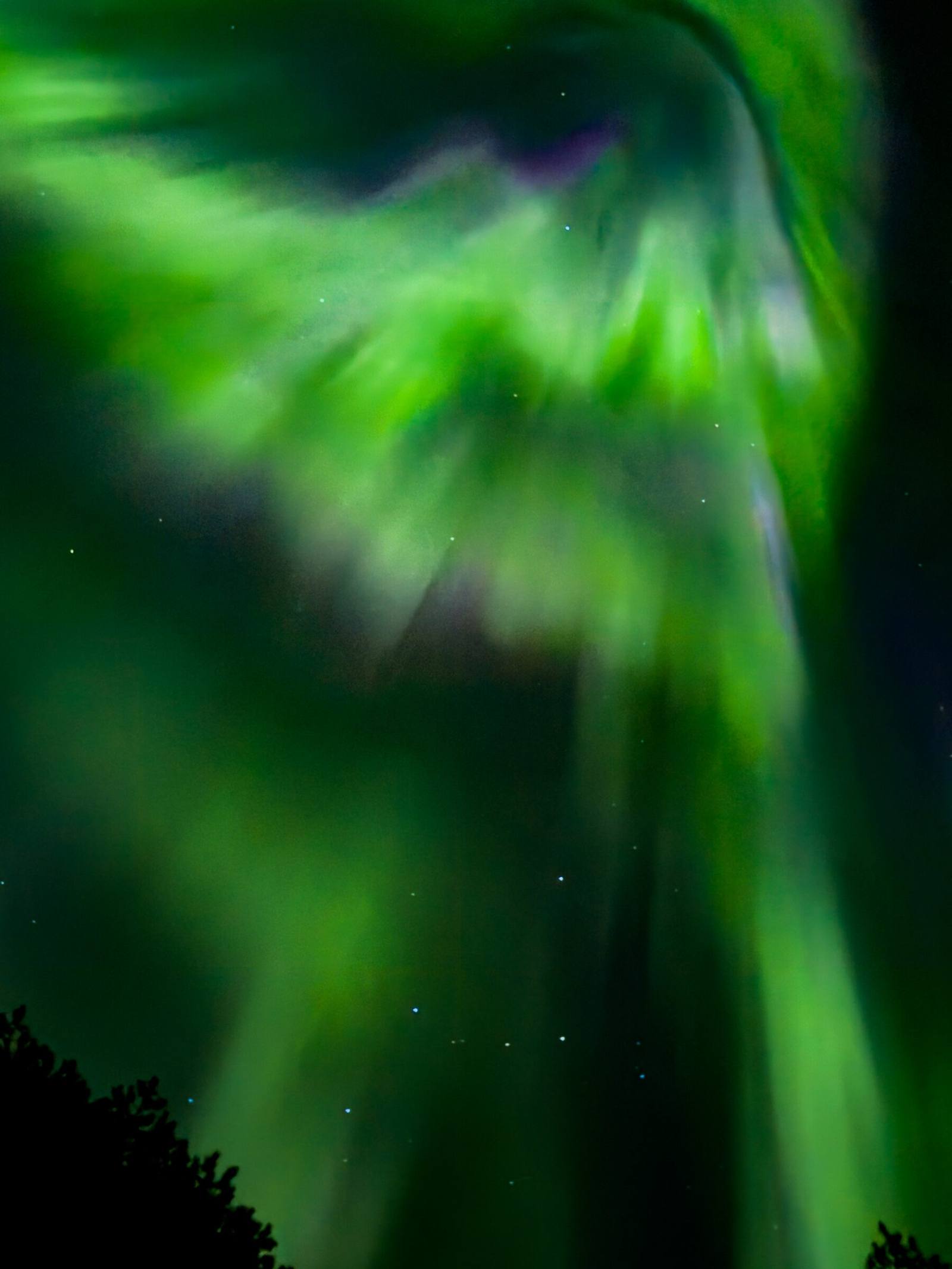
Bright green aurora corona bursting directly overhead with purple edges

Book directly with Arctic Tours Oy

Clear sky tonight? Let’s go.

Book online with instant confirmation, send a booking request with flexible dates, or message us on WhatsApp.

Book aurora tourPrivate